We are Surveyors First
About
We started Bugzeye for our own land surveying needs, then perfected our processes and now are are making it available to the public.
We started Bugzeye for our own land surveying needs, then perfected our processes and now are are making it available to the public.

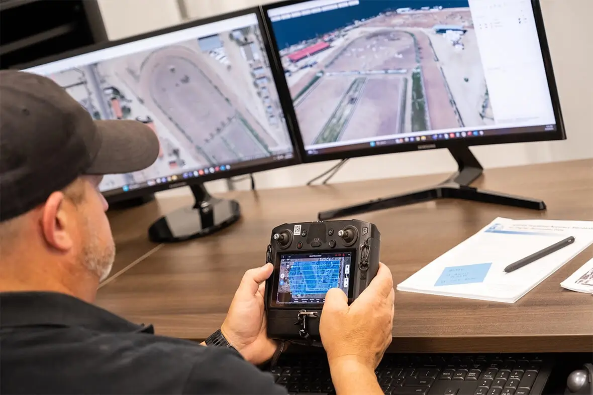
Founded in 2019 by the Klein family, we began as a data provider for our land surveying company, Superior Surveying Services, Inc. We quickly realized the vast potential of drone mapping in data collection and processing, and spent the last four years perfecting our craft while providing top-tier products exclusively to our surveying business. The feedback we received has been overwhelmingly positive, with Superior stating that they have seen significant gains in production and profit using our data and images.


Our engineers benefit from the wealth of data available through aerial processes combined with traditional ground methods, and now in 2023, we are excited to offer our premium services to the entire land surveying and engineering community, as well as to the general public. With over 40 years of combined experience conducting land surveys and 10 years of combined experience as Certified Remote Pilots, we have completed hundreds of individual flight missions and are constantly discovering new uses for our data.
At Bugzeye, we pride ourselves on doing the heavy lifting and taking on time-consuming data collection so you can focus on your clients, your final product, and your bottom line. Let us show you why we are the best in the business and provide you with the highest quality product possible for your existing and future applications.
++++++