Bugzeye™ Drone Mapping and PhotographyServing all of Arizona(480) 953-0626

Services

Drone Mapping & Modeling Services

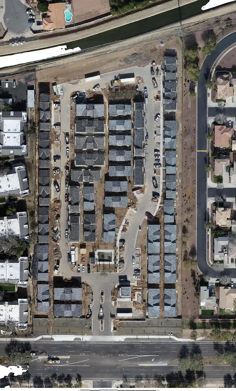
Bugzeye offers high-quality drone mapping services that provide accurate, thorough data about a property or portion of a property. Our services are designed to meet the needs of surveyors, architects, engineers, & other design professionals. Our mapping results in a 3D point map that can be used for survey-grade maps, engineering plans, 3D models, and virtually any application requiring site data.

We want to make your project easier. Let us complete it quicker and for less.

Tell us about your project

Benefits of Aerial Mapping Drones

Drone mapping is revolutionizing the surveying industry by enabling more efficient, detailed, and flexible aerial mapping. With the use of mapping drones, professionals across a wide range of industries can capture high-resolution data in less time than traditional methods. The benefits of drone mapping include faster data collection, cost savings, and access to aerial images and data even in remote or rough terrain. By deploying aerial mapping drones, companies gain the ability to survey large areas efficiently, whether for construction, mining, agriculture, or environmental monitoring.

Contact Us to Learn More

Unmatched Detail

Drone mapping offers precise measurements that assist in creating 3D models, digital terrain models, and digital surface models that provide a high level of detail. These models and data sets allow construction managers, project managers, and other professionals to visualize and analyze project sites. This ability to capture data from above opens up a new perspective, allowing for careful planning, monitoring, and proactive decision-making that benefits industries ranging from environmental management to infrastructure development.

Bugzeye Photogrammetry Drone Surveying

At Bugzeye, we are committed to providing advanced drone mapping services using top-of-the-line equipment and technology. Our photogrammetry software and expert mapping specialists work together to create high-resolution 3D models and topographic maps that give clients accurate, actionable insights. By combining ground and drone-based data, we can produce aerial imagery that is both visually detailed and spatially accurate.

Large Areas & Details

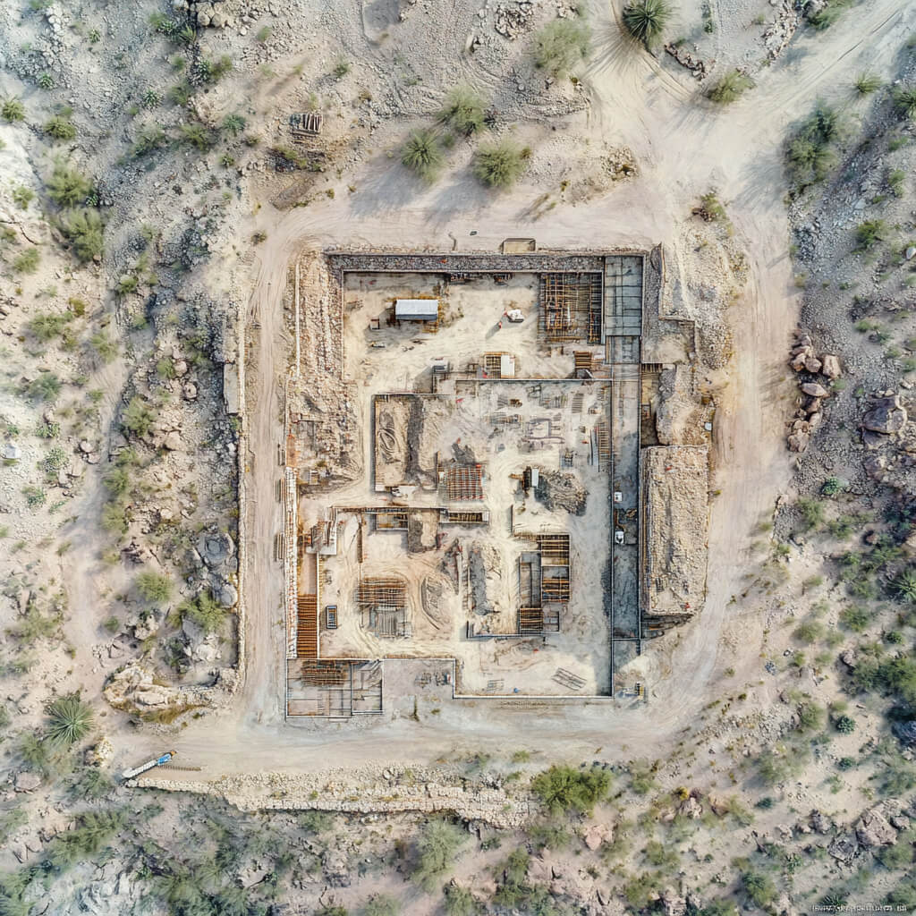
Unlike traditional survey methods, our photogrammetry-based aerial mapping enables us to cover vast areas without sacrificing accuracy. We employ careful flight planning to ensure every flight path captures the necessary data, even in cloud cover or adverse weather conditions. This approach ensures that our clients receive an accurate map that meets their specifications. Our photogrammetry techniques capture ground details, building elevations, and landscape features, offering a rich layer of information that supports a variety of project types, from architectural planning to environmental assessments.

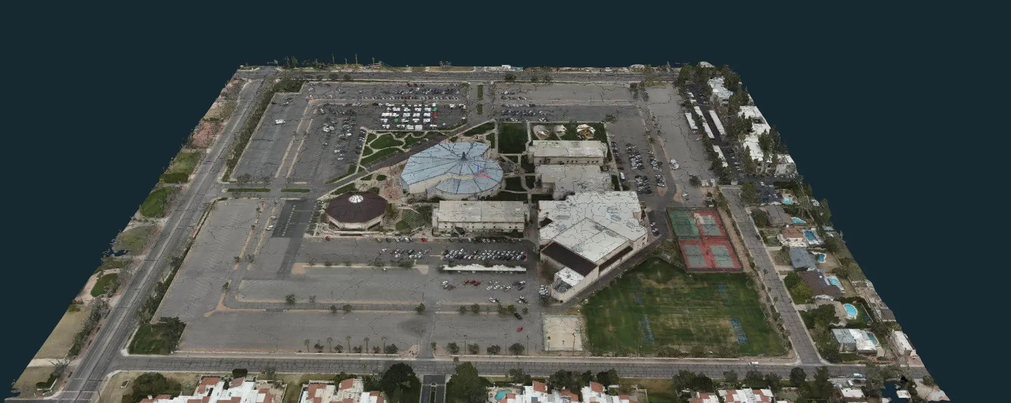
3D Mesh Model
3D Mesh Model
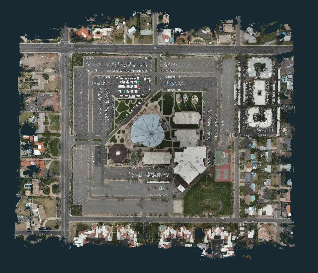
 Aerial Point Cloud
 Aerial Point Cloud
++++++++

Our Mission of Absolute Accuracy

At Bugzeye, our mission is to provide absolute accuracy in every drone mapping project. We recognize that accurate measurements are critical for our clients, whether they’re working on construction sites, mining sites, or environmental projects. By maintaining a rigorous approach to aerial mapping, we ensure that the data we deliver aligns with real-world coordinates, giving clients the confidence to make informed decisions. Every detail in our process is crafted to ensure that the final output exceeds industry standards.

Set up a Consultation

LiDAR Mapping Flights

In addition to photogrammetry, Bugzeye offers LiDAR (light detection and ranging) mapping flights for clients who require even more detailed data. Our drones are equipped with LiDAR sensors capable of capturing dense point clouds, which are especially useful for rough terrain and vegetated areas. LiDAR data provides higher accuracy for digital elevation models and other critical data sets, enabling comprehensive mapping in challenging environments. LiDAR technology measures distances using light pulses, producing a three-dimensional representation of a site that highlights structural details, ground contours, and vegetation coverage.

An Essential Service

This technology is ideal for natural disaster assessment, infrastructure planning, and large-scale development projects. Drone mapping with LiDAR complements our photogrammetry services, allowing us to offer a full suite of solutions for aerial mapping. Our LiDAR services can distinguish between different ground features and deliver accurate data even under foliage, making it an invaluable tool for projects in forest management, agriculture, and city planning. Whether you need detailed topographic data for a development project or environmental monitoring insights, our LiDAR services provide robust mapping solutions.

Learn more on our LiDAR Page.

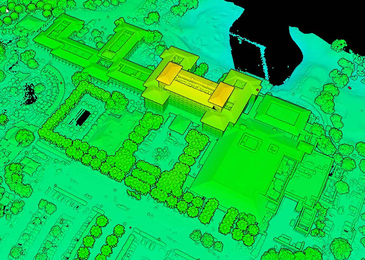
LIDAR Reflective Point Cloud
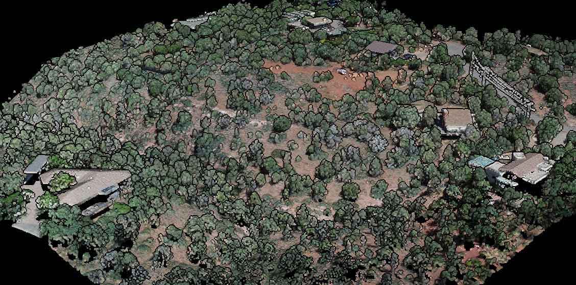
Oblique LIDAR Point CloudOblique LIDAR Point Cloud

Thorough & Respectful Drone Mapping Missions

At Bugzeye, we conduct all drone mapping missions with care and respect for the environment and surrounding communities. Our drone pilots adhere to strict safety standards and follow precise flight paths to ensure optimal aerial image quality. We take all necessary precautions to minimize noise, avoid disturbances, and comply with regulatory guidelines during each mission. Our commitment to ethical and responsible practices has earned us trust among clients and communities alike.

Your Best Foot Forward

Whether mapping construction sites, mining sites, developed sites, or natural landscapes, our approach is designed to provide accurate data while respecting the unique environmental conditions and human presence of each site. We’re here to put your best foot forward in reducing site impact. Through careful planning and skilled execution, we deliver reliable data that meets the demands of even the most sensitive locations. Each project is planned with a clear understanding of its impact on local environments, helping clients achieve their goals while safeguarding natural resources. This responsible approach not only enhances our project quality but also builds valuable relationships with the communities we work in.

High Quality Cameras and Specialized Drones for Mapping

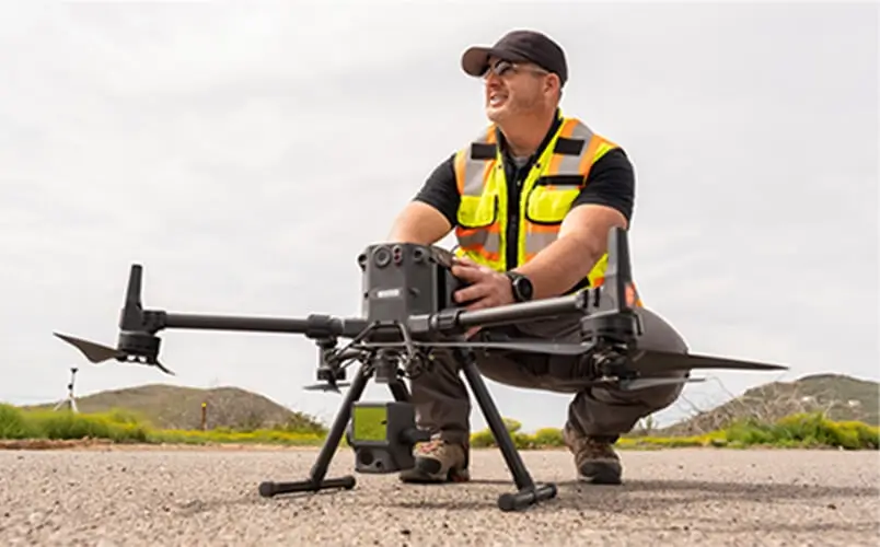
Our mapping drones are equipped with high-quality cameras and specialized technology to capture data with exceptional clarity. The aerial image quality of our cameras and LiDAR systems enable us to produce 3D images and detailed maps that reveal important site characteristics. Our range of equipment grows with the industry, expanding our range of applications to include environmental assessments, agricultural monitoring, and infrastructure inspection.

Our Commitment to Perfection

Bugzeye’s commitment to using top-of-the-line drones, payloads, and software ensures that each project benefits from the best possible technology. Our drone mapping software works seamlessly with our hardware to create integrated, accurate, and detailed mapping outputs for every project. By employing advanced optics and image stabilization technology, our mapping drones produce consistent, high-resolution imagery that captures even the smallest details of a site. Our specialized cameras support precise measurements and are compatible with a variety of analytical tools, allowing us to deliver data products that meet specific industry needs.

Set up a Consultation

Drone Mapping Software

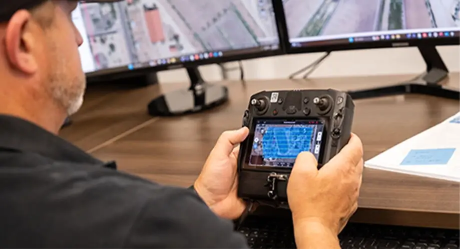
Our drone mapping software is central to our success in producing precise digital surface models, digital terrain models, and digital elevation models. This specialized software allows us to process massive amounts of data efficiently and create manageable deliverables that meet our clients’ specifications. By combining software with advanced mapping technology, we’re able to conduct aerial photography that translates into actionable data for clients.

Our drone mapping software has built-in tools for analyzing and processing multispectral imagery, which is particularly useful in sectors such as agriculture, environmental conservation, and land management. Bugzeye’s software helps our mapping specialists generate data-driven insights that clients can rely on for critical decision-making. Additionally, our software enables us to manage vast datasets, converting raw aerial data into structured formats that can be easily used in project planning and analysis. From real estate development to conservation initiatives, our software-supported drone mapping services empower clients to achieve their goals with comprehensive, spatially accurate data.

+++++

3D Modeling & 3D Mapping

3D modeling and 3D mapping are essential for industries that require an accurate visualization of site characteristics. Bugzeye’s drones capture data that allows us to construct 3D models of terrain, structures, and natural features, providing clients with a complete picture of their sites. Our 3D models are created from carefully stitched aerial images, resulting in accurate measurements that support a variety of applications.

These models are valuable for construction industry benefits, including project planning, risk assessment, and progress monitoring. Construction managers and project managers can use these 3D models to track every stage of a site’s development, identify potential issues early, and make proactive adjustments to project plans. Our 3D modeling capabilities enable clients to visualize sites from multiple perspectives, enhancing their understanding of spatial relationships and site features. These digital models can also facilitate virtual walkthroughs, allowing stakeholders to explore project sites without needing to be physically present.

Learn more on our 3D Modeling Page.

Aerial Vehicle Flight Time & Site Planning

Flight time and site planning are critical factors in the success of each mission. Our drones are optimized for extended flight time, allowing us to capture larger areas without interruptions. By adjusting flight altitude and speed according to site requirements, we can gather the most comprehensive data within the available flight duration.

Focused on Efficiency

Effective site planning involves assessing environmental conditions, regulatory factors, and specific project requirements. Every flight path is carefully designed to maximize data collection while ensuring safe and respectful operations. With our expertise in careful flight planning, we can adapt to diverse project requirements, from small-scale surveys to extensive regional mappings. Our ability to customize each flight to meet unique project challenges enables us to gather high-quality data under various environmental and regulatory conditions.
Partner With Us

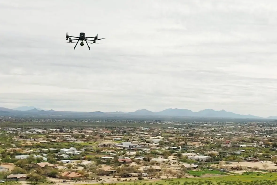
Partnering with Bugzeye means gaining access to a reliable team of mapping specialists, experienced drone pilots, and the latest in drone technology. We pride ourselves on offering professional, accurate, and timely results across a wide range of industries, including construction, mining, environmental monitoring, and emergency response. Our accurate services meet the needs of modern professionals who require real-time data and spatial accuracy.

Bugzeye’s commitment to quality and innovation makes us a trusted choice for all drone mapping needs. Our collaborative approach means that every client receives personalized attention and service tailored to their project goals. Partnering with Bugzeye ensures that your projects are supported by accurate, reliable data from a team dedicated to delivering exceptional results.

If you’re ready to see the benefits of drone mapping in action on your next project, contact us today and let’s talk about it.

Let's Get Started

++++++++