Services
Drone 3D Mapping & Modeling Services
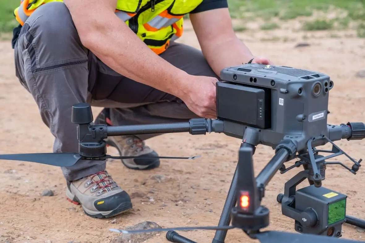
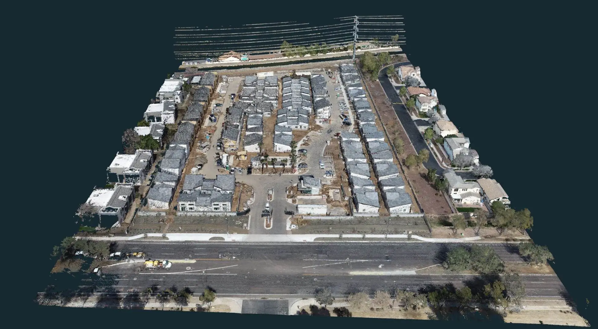
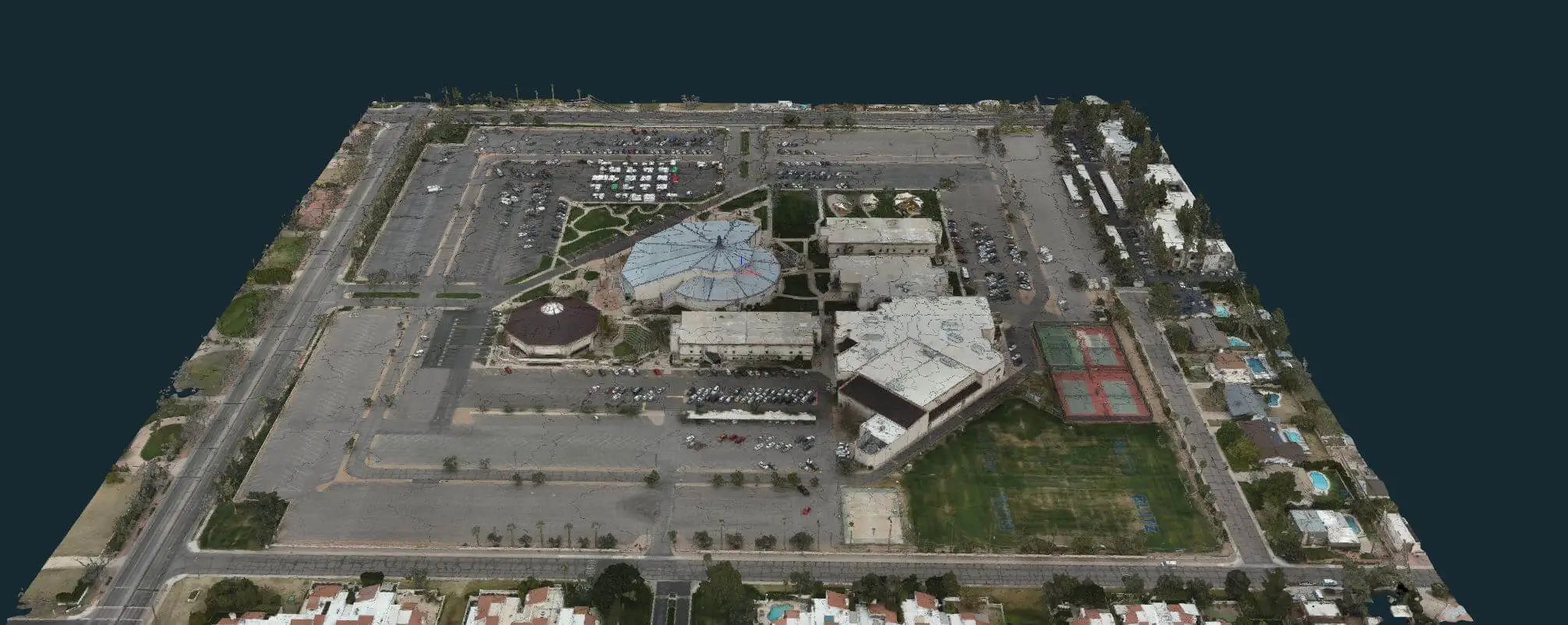
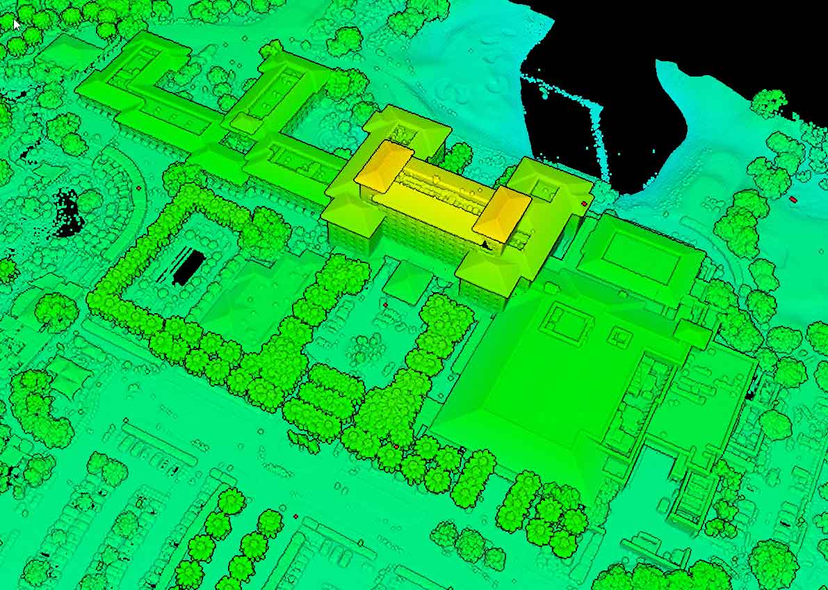
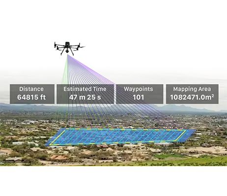
3D mapping and modeling are revolutionizing the way industries visualize, analyze, and plan their projects. Bugzeye Drone Mapping & Photography delivers precise 3D models built from aerial images captured with high-resolution cameras and supplemented by advanced scanning techniques. Our services combine cutting-edge drone mapping software and geospatial tools to create interactive virtual models, digital surface models, and other data-rich outputs. Whether for construction sites, land surveying, or marketing presentations, our solutions provide unmatched detail and accuracy.
