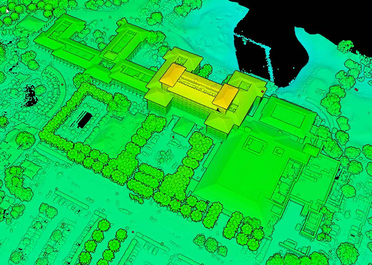
LiDAR Aerial Scanning Process
At Bugzeye, we follow a meticulous process to ensure accurate and reliable results for every project.
Pre-Scan Planning
Before any aerial mapping begins, we work closely with clients to define project goals, identify key deliverables, and establish the required level of precision. Pre-scan planning includes assessing terrain, selecting appropriate systems, and determining optimal flight paths to maximize data coverage.
Data Acquisition Techniques
During the scan, laser pulses are emitted to collect elevation and surface data. This step involves skilled pilots and operators who ensure that measurements are captured accurately, even in difficult terrain or forests. The integration of an inertial measurement unit guarantees consistent and reliable data collection.
Post-Processing & Analysis
Once data is collected, our team processes it into usable formats, such as 3D point clouds, digital terrain models, and surface maps. These deliverables provide businesses and engineering teams with actionable insights for managing their projects efficiently. Post-processing also includes aligning and calibrating data to ensure accuracy in the final outputs.

.webp)
.webp)