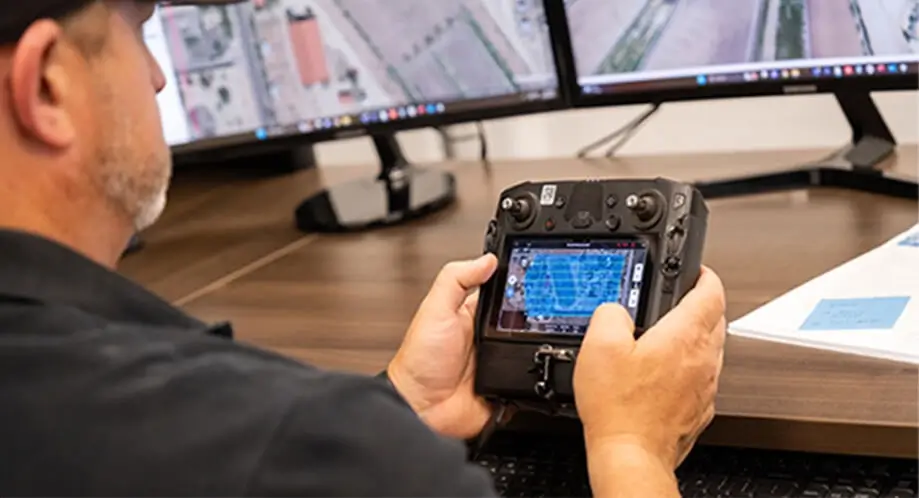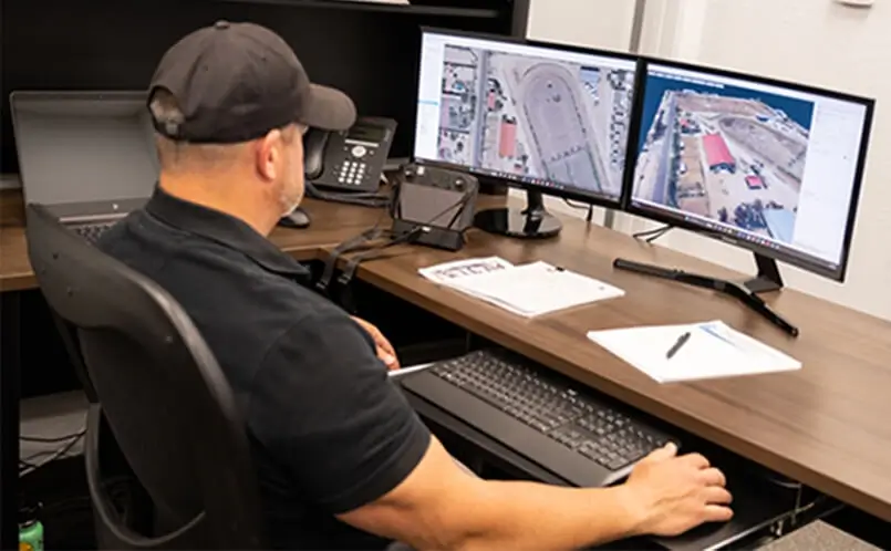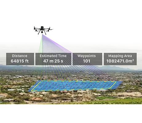
Drone imaging reduces field work time significantly by days or even weeks. This could allow clients to take on more projects throughout the year.
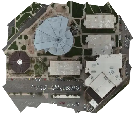
For worksites that require scalable maps with consistent details throughout, the orthomosaic option is simply unmatched.
Drone mapping provides large and precise amounts of data due to its ability to capture vastly more data points than traditional methods.
Confidently know you will get the right amount of data at the precision levels you require for every project.
Outsourcing is more cost effective than investing in drone hardware, software and expert personnel.
Compared to traditional field surveying processes, we are faster, cost less, and more efficient.
Our work potentially allows customers to reduce the size of their personnel load and associated costs.
Drone imaging reduces field work time significantly by days or even weeks.
Not only can this benefit your current project, imagine how many more projects you can take on throughout the year. Or better yet, take a day off here and there.
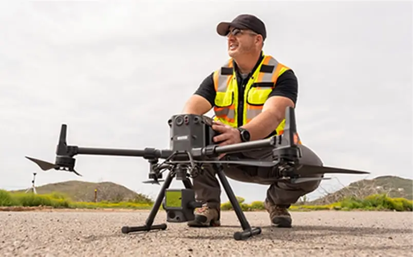
All of our pilots are FAA Part 107 Certified Remote Pilots in good standing. Certificate Numbers provided upon request.
All of our products and operations are overseen and coordinated between our Registered Land Surveyors and Certified Remote Pilots.
Tell us about your next project.
We will follow up with how we can help you complete it quicker and for less!