Bugzeye™ Drone Mapping and PhotographyServing all of Arizona(480) 953-5259

Drone Mapping & Aerial Data for Environmental & Public Lands

Bugzeye supports environmental consultants, public agencies, land managers, surveyors, and engineering teams with aerial mapping, LiDAR, imagery, terrain data, and repeat collection across large, remote, or difficult-to-access sites.

Projects can range from targeted environmental documentation to large-area mapping, with support available for collection only or processed geospatial deliverables.

We want to make your project easier. Let us complete it quicker and for less.

Tell us about your project

Large, Remote & Difficult-to-Access Sites

Environmental and public-land projects often cover large acreage, rugged terrain, or areas with limited ground access. Drone collection can help document those sites efficiently while reducing the amount of time crews need to spend traversing difficult terrain.

Bugzeye can support projects ranging from targeted areas to large rural and remote sites using multirotor or fixed-wing aircraft depending on the scope.

Large-Acreage Aerial Mapping

Contact Us to Learn More


Terrain, Vegetation & Surface Data

Environmental and public-land projects often require a clear understanding of terrain, drainage, vegetation, erosion, surface change, and existing site conditions across areas that may be difficult to document completely from the ground.

Depending on the project, Bugzeye can support those workflows with:

  • LiDAR and point-cloud data
  • terrain and elevation models
  • orthomosaic imagery
  • surface and drainage documentation
  • vegetation and ground-condition mapping
  • 3D models and reality-capture data

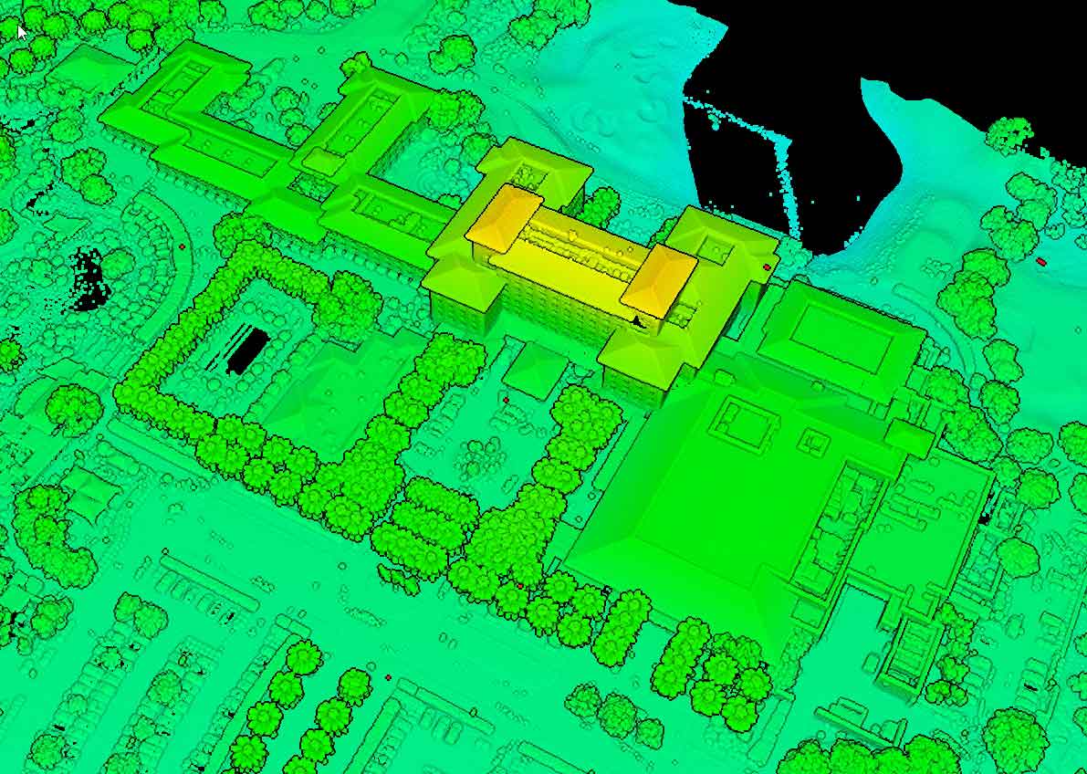
LiDAR can be especially useful on sites with vegetation because some laser pulses may reach the ground through gaps in the canopy, helping provide additional terrain information where imagery alone may be limited.

Bugzeye can provide collection-only support or processed geospatial deliverables depending on how the environmental, engineering, surveying, GIS, or land-management team plans to use the data.

LiDAR
Topographic Mapping & Terrain Data

Remote Terrain Mapping
LiDAR Reflective Point Cloud

Environmental Monitoring & Repeat Documentation

Environmental conditions can change over time, especially around waterways, vegetation, erosion areas, restoration sites, and other sensitive landscapes.

Repeat aerial collection can help project teams build a consistent visual and geospatial record of those changes without relying only on isolated site visits.

Bugzeye can support:

  • waterway and riparian documentation
  • erosion and drainage monitoring
  • vegetation and habitat-area mapping
  • restoration and mitigation projects
  • before-and-after site comparisons
  • recurring aerial documentation for long-term projects

Depending on the project, imagery, orthomosaics, terrain data, or 3D datasets can be collected at planned intervals to support environmental consultants, agencies, engineers, and land managers.

 Orthomosaic Mapping

Contact Us to Learn More

++++++++

Public Lands & Agency Support

Public-land projects often involve large areas, multiple stakeholders, access constraints, and specific documentation requirements. Bugzeye can support agencies, consultants, engineers, surveyors, and land managers with aerial data collection tailored to the project.

Common applications include:

  • existing-condition documentation
  • large-area mapping
  • terrain and surface data
  • corridor, trail, and access-road mapping
  • waterway and drainage documentation
  • repeat collection for long-term projects
  • collection-only support for established GIS, surveying, or engineering workflows

Bugzeye can support projects across municipal, state, federal, and other managed lands, with the aircraft, sensor, and deliverables selected around the site and project requirements.

++++++

I’d like to be contacted.

Planning an Environmental or Public-Land Project? Send us the project location, approximate acreage, intended use of the data, and any known site or access constraints. Bugzeye can help determine the appropriate collection approach for the project, whether you need aerial imagery, mapping, LiDAR, terrain data, repeat documentation, or collection-only support. Tell Us About Your Project