Aircraft, Sensors & 3D Mapping Capabilities
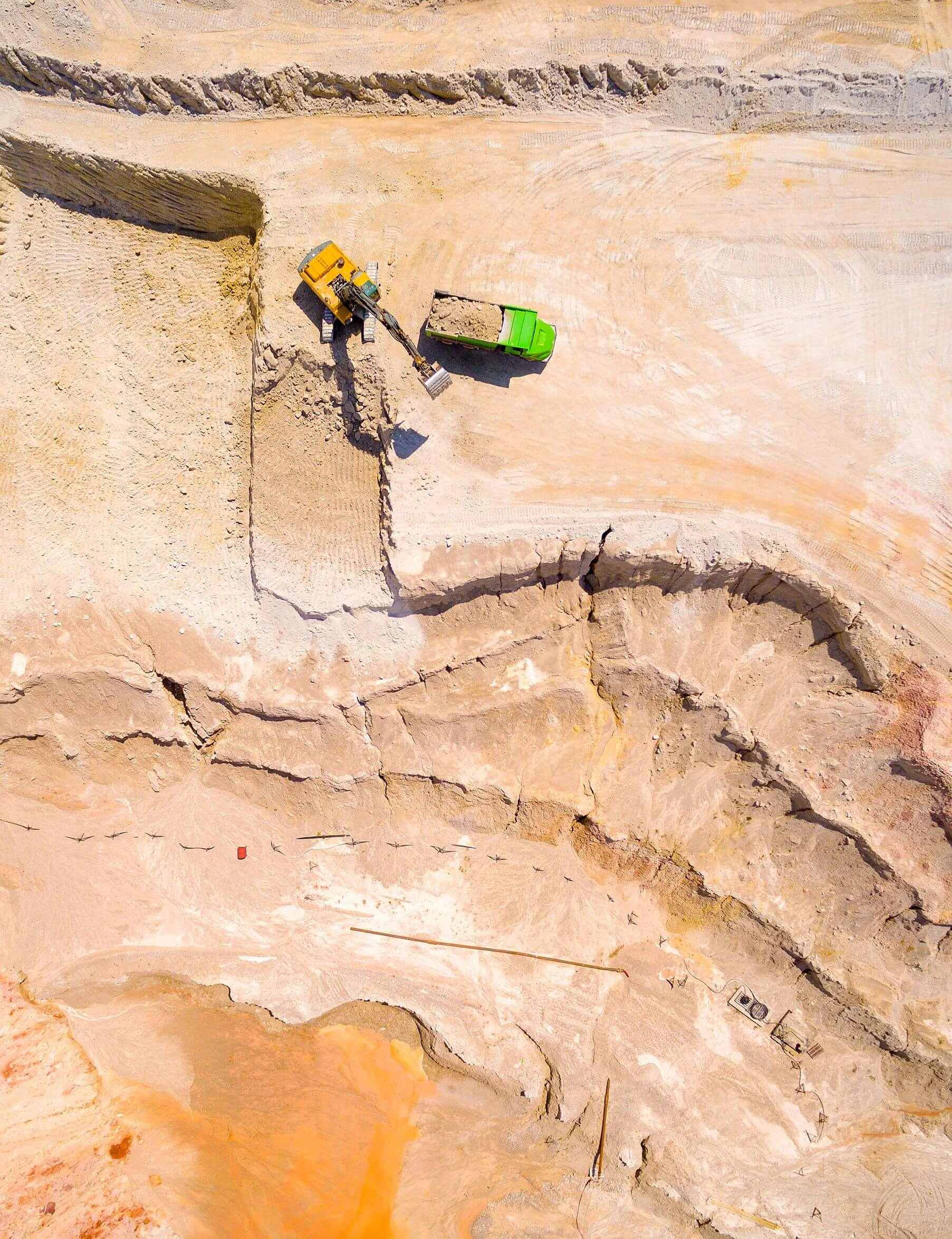
Mining and aggregate sites can vary significantly in size, terrain, access, and data requirements, so Bugzeye selects the aircraft, sensors, and collection method around the project rather than relying on one platform for every job.
Depending on the site, collection may involve multirotor or fixed-wing aircraft, high-resolution photogrammetry, LiDAR, thermal imaging, RTK positioning, and automated mapping flight plans.
Automated & Repeatable Data Collection
Automated flight planning allows Bugzeye to collect consistent coverage across large areas using planned flight paths, altitude, overlap, and camera or sensor settings.
This can be especially useful for recurring projects such as:
- stockpile and material measurements
- excavation tracking
- terrain mapping
- construction or operational progress
- environmental monitoring
- repeat site documentation
Using a consistent collection approach makes it easier to compare datasets from different dates and understand how conditions across the operation are changing over time.
For larger sites, collection can also be divided into multiple coordinated flight areas while maintaining a consistent approach to control, processing, and final delivery.
3D Models & Site Visualization
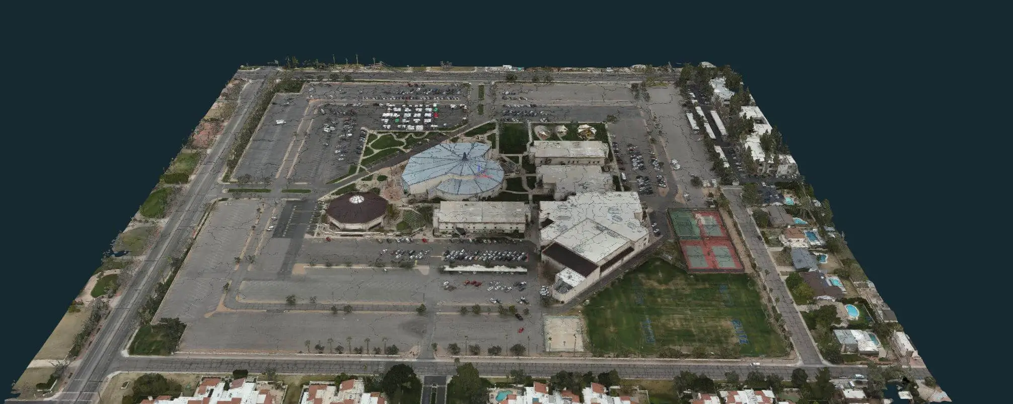
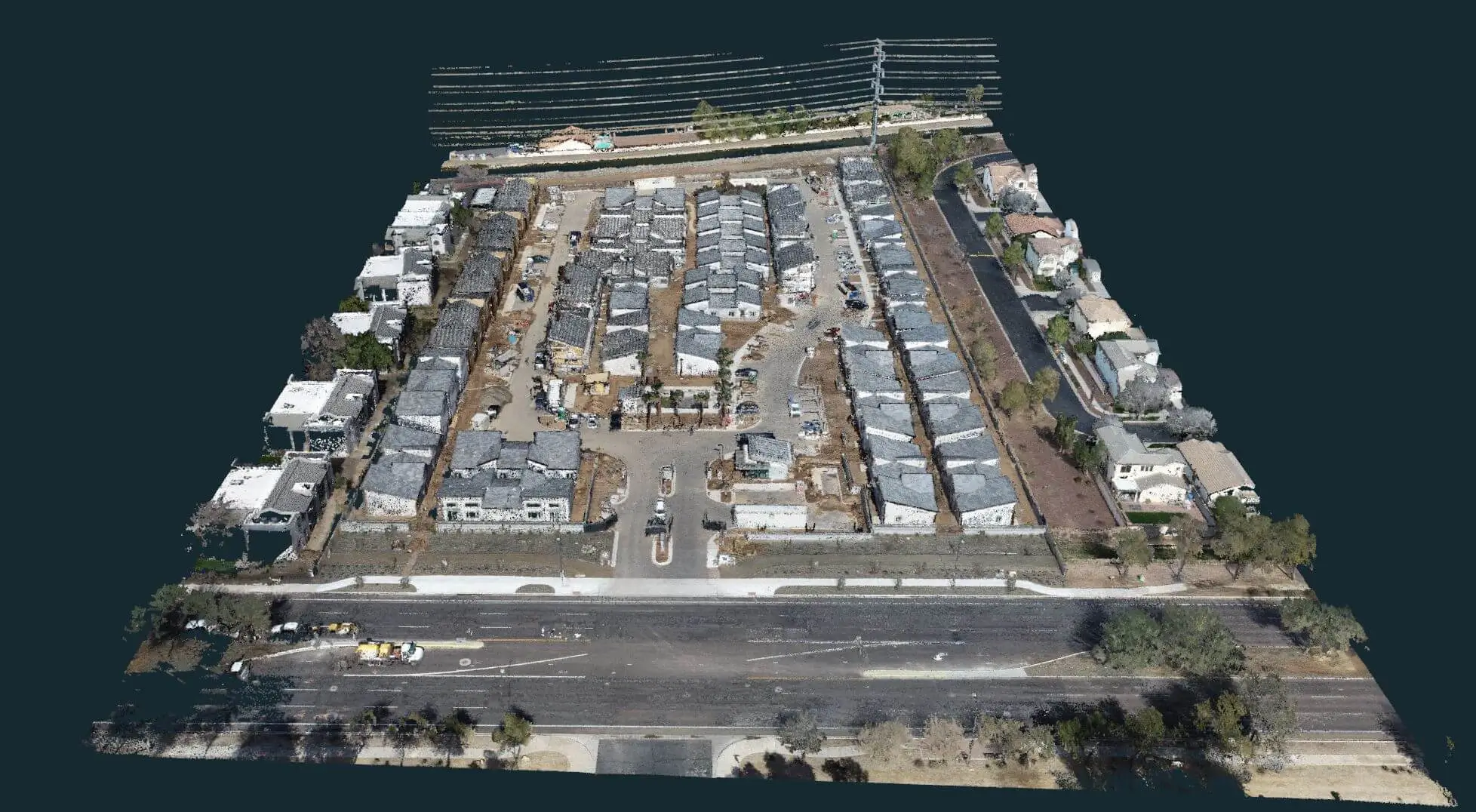
Photogrammetry and LiDAR data can be processed into detailed 3D point clouds, mesh models, terrain models, and other three-dimensional representations of mining and aggregate sites.
These datasets can help project teams visualize and evaluate:
- excavation areas
- stockpiles and material yards
- pits and slopes
- terrain and elevation changes
- roads and site access
- infrastructure and structures
- changing site conditions over time
3D data can support planning, measurement, documentation, engineering, and operational workflows while giving teams a detailed digital representation of the site that can be reviewed without relying solely on ground observation.
Learn more about our 3D Mapping & Modeling services.